



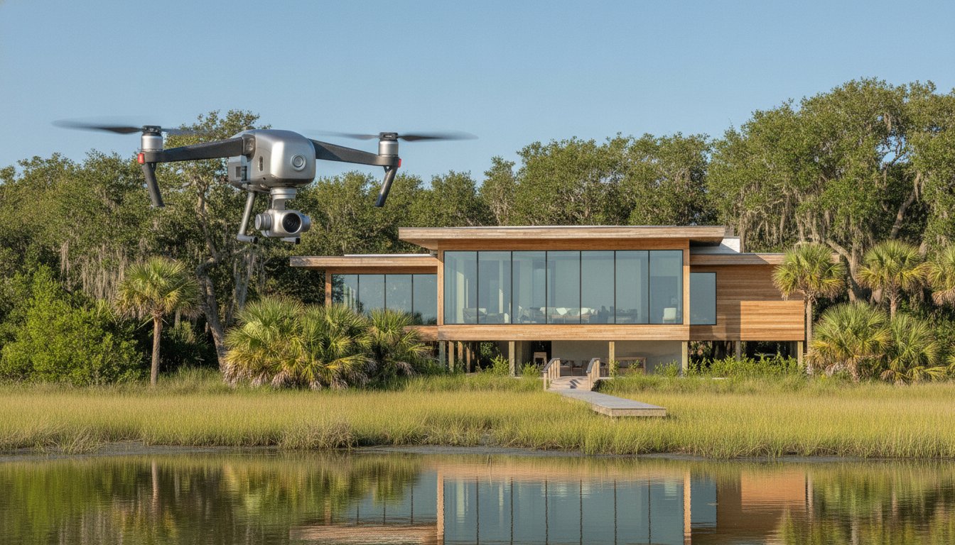
In the high-stakes world of South Carolina Lowcountry real estate, the most expensive drone flight is the one you have to pay for twice. You've likely seen the results of low-budget operations: distorted horizons, artificial blue skies, and compositions that fail to respect the architect's original vision. When marketing a multi-million dollar estate in Sea Pines or a custom build in Palmetto Bluff, these visual errors don't just look unprofessional. They actively diminish the property's market position. Securing high-caliber drone photography for commercial real estate hilton head requires a shift in perspective, moving away from simple flyovers toward sophisticated architectural storytelling that respects spatial clarity and natural light.
We understand that for luxury Realtors and developers, the goal isn't just an aerial view but a strategic asset that validates professional referrals. This editorial analysis provides a transparent look at 2026 pricing structures for premium aerial work, focusing on the investment required to capture the true craftsmanship of coastal architecture. We'll explore the critical drivers of professional rates, including the technical precision of cinematic tracking and the essential legalities of FAA Part 107 compliance within our region's complex private club airspaces. You'll gain a clear understanding of how to identify a partner who prioritizes realism over trends, ensuring your visual marketing reflects the excellence of the properties you represent.
Key Takeaways
• Discover how aerial perspectives function as a narrative tool, seamlessly integrating Lowcountry architecture with its essential waterfront and marshland context.
• Understand the operational overhead that defines professional rates, specifically the role of FAA Part 107 compliance and specialized insurance in mitigating risk.
• Distinguish between commodity-level services and high-end drone photography for commercial real estate hilton head to protect your brand from the visual distortion of budget-tier imagery.
• Learn to evaluate professional quotes by prioritizing architectural literacy, spatial clarity, and a commitment to natural light over trendy, overprocessed effects.
• Gain insight into a sophisticated approach to property presentation that prioritizes realism and editorial quality for the most discerning B2B audiences.
The Strategic Value of Aerial Perspectives in Luxury Real Estate
Drone photography for commercial real estate hilton head is more than a technical service; it's a narrative bridge between a structure and its environment. In the luxury market, properties are defined by their relationship to the landscape. A standard ground-level shot cannot communicate how a custom residence interacts with a winding tidal creek or how a commercial development integrates with the surrounding live oak canopy. We view the drone as a tool for architectural storytelling, capturing the scale and intention behind a property’s placement within the Lowcountry ecosystem. This perspective allows us to document the flow of a site, moving beyond simple documentation to evoke the psychological impact of a property's unique location.
Highlighting Site Context and Lowcountry Scale
The coastal geography of Hilton Head Island and Bluffton presents specific visual challenges that require a disciplined eye. When representing a deep-water estate, the proximity to the dock and the navigability of the waterway are primary drivers of value. A high-altitude perspective provides the spatial clarity that ground shots lack. While the history of aerial photography began with fixed-wing aircraft and basic surveys, modern UAV technology allows us to maintain strict architectural integrity from precise heights. We focus on showcasing property boundaries and acreage without the wide-angle distortion that often plagues lower-budget productions. This approach ensures that the viewer understands the true proportions of the lot and its integration with local landmarks, such as the Calibogue Sound or the Atlantic horizon, without sacrificing realism.
The Shift from Optional Luxury to Marketing Standard
By 2026, the expectations of high-net-worth buyers have matured significantly. These individuals often conduct their initial research from out of state, relying on digital assets to vet properties before committing to a physical tour. Aerial imagery has transitioned from an optional flair to an essential marketing standard. Within private club communities like Sea Pines or Wexford, drone photography for commercial real estate hilton head serves as a silent validator of quality. It provides the comprehensive visual data required to win premium listing presentations and secure high-intent interest. For a Realtor, the choice of a professional partner is a reflection of their own brand integrity. Using realistic, natural-light aerials demonstrates a commitment to craftsmanship and truth, contrasting sharply with the overprocessed, artificial aesthetics that have become common in the broader market.
Primary Drivers of Drone Photography Pricing in 2026
Premium pricing for drone photography for commercial real estate hilton head is a reflection of sophisticated risk management and technical precision. In the luxury architectural market, the investment covers much more than a pilot's time on site. It encompasses the rigorous professional standards required to produce imagery that meets the discerning expectations of architects, custom builders, and high-end developers. When you hire an expert, you're paying for the certainty that the final assets will enhance, rather than compromise, the property's market position.
Regulatory Compliance and Risk Mitigation
Every commercial aerial operation must adhere strictly to FAA commercial drone regulations, specifically the Part 107 Remote Pilot Certificate. In the South Carolina Lowcountry, this compliance is particularly complex. Hilton Head Island Airport operates within Class D controlled airspace, necessitating specific LAANC authorizations that entry-level hobbyists often ignore. Navigating the unique restrictions of private club communities like Sea Pines or Wexford requires additional coordination and administrative overhead. Professional liability insurance is a non-negotiable safeguard that protects property owners and Realtors from the significant financial risks associated with aerial operations in densely populated luxury enclaves.
Post-Production: Achieving Tonal Restraint and Realism
The most significant invisible cost in high-end drone work is the time dedicated to expert post-production. Editorial-grade imagery requires meticulous tonal management to ensure the final result looks like a photograph rather than a computer-generated rendering. We explicitly avoid the oversaturated colors and artificial, "pasted-in" skies that characterize budget-tier services. Instead, the focus remains on perspective correction and natural light balance to preserve the building’s structural truth. This level of craftsmanship requires hours of manual color grading, which is a sharp contrast to the automated, overprocessed HDR filters used by commodity providers.
Technical resolution also plays a critical role in pricing. High-end architectural presentation requires large sensors and superior glass to capture the fine textures of tabby siding or cedar shakes without digital noise. These tools allow for greater dynamic range, ensuring that highlights on a waterfront facade remain crisp while maintaining detail in the shadows of a maritime forest. For those seeking a refined visual strategy that respects these nuances, our aerial imagery services prioritize realism and architectural integrity above all else. This disciplined approach ensures that every frame serves as a faithful representation of the property's craftsmanship.
Analyzing Pricing Models: Commodity vs. Architectural Grade
Professional pricing models for drone photography for commercial real estate hilton head distinguish between a simple aerial survey and an architectural study. While commodity-level services focus on high-volume, low-cost delivery, architectural-grade imagery prioritizes the structural truth of the property. For luxury listings and commercial assets, the pricing structure often shifts from a per-photo model to a per-session rate. This allows the photographer the necessary time to wait for optimal lighting conditions, ensuring that shadows and highlights accentuate the building's form rather than obscuring it. Choosing a partner based solely on a low entry price often results in brand damage that far outweighs the initial savings.
Budget Services vs. Premium Architectural Presentation
The marketplace is saturated with budget pilots offering sessions for as little as $150. However, these services typically rely on consumer-grade drones with small sensors that struggle to capture the fine details of Lowcountry materials like tabby or reclaimed heart pine. A point-and-shoot approach lacks the intentionality required for elevating your listing with drone video and stills. Premium presentation requires planned, artistic composition and full-frame resolution to maintain clarity. High-end builders and architects don't just want a bird's-eye view; they demand visual assets that respect the craftsmanship of the project. This requires a pilot who understands architectural literacy and spatial clarity, avoiding the distorted, ultra-wide-angle perspectives common in budget-tier work.
Regional Market Rates in Hilton Head and Bluffton
In the South Carolina Lowcountry, standalone professional drone sessions for standard residential properties typically range from $150 to $350. For commercial assets and luxury estates in communities like Sea Pines or Palmetto Bluff, these rates reflect the increased complexity of the shoot. Many sophisticated Realtors find the greatest value in bundles that combine aerial work with professional property photography. This ensures a cohesive visual narrative across all marketing channels. For oceanfront or marsh-front properties, adding real estate videography often provides the necessary geographic context that out-of-state buyers require. The regional demand for waterfront presentation remains high, and the investment in quality drone photography for commercial real estate hilton head serves as a critical differentiator in a competitive market. By prioritizing realism and natural light, you ensure that the property's first impression is one of sophistication and integrity.
Evaluating a Professional Quote: What to Look For
Evaluating a quote for drone photography for commercial real estate hilton head requires a forensic approach to the provider’s past work and operational standards. A professional estimate should be transparent, detailing not only the flight time but the technical and legal scaffolding that supports a successful shoot. When reviewing a proposal, prioritize providers who demonstrate an understanding of architectural integrity over those who simply offer the highest volume of images. A quote is more than a price; it's a commitment to brand protection and visual accuracy.
Assessing Visual Maturity and Aesthetic Alignment
The hallmark of a sophisticated portfolio is restraint. When reviewing aerial work, look for consistent lighting and natural shadows that define the property’s mass and depth. Avoid portfolios that feature artificial HDR glows or unrealistic, neon-blue skies. These techniques often mask poor technical execution and fail to represent the property with the honesty that high-net-worth buyers expect. Spatial clarity is equally critical. The drone should be used to clarify the relationship between the structure and its site, not to create a confusing array of disorienting angles. In the luxury market, three or four perfectly composed hero shots are far more valuable than dozens of repetitive, uninspired frames.
The Importance of Local Expertise and Referrals
Hiring a pilot with specific experience in Hilton Head’s private communities, such as Palmetto Bluff or Wexford, is a strategic necessity. These environments have unique gate access protocols and strict privacy expectations that an outsider may struggle to navigate. A seasoned local partner understands how the coastal light shifts across the marsh at different times of day, allowing them to plan flights that capture the residence in its most favorable state. For a deeper look at the selection process, consult our guide on How to Hire a Real Estate Photographer.
Beyond the visuals, your quote must explicitly confirm FAA Part 107 credentials and active liability coverage. Verify that the delivery timeline aligns with your marketing schedule and that the file formats provided are suitable for both high-resolution architectural print and optimized web use. Ensure the quote includes comprehensive post-production and clear licensing rights to avoid unexpected costs later in the sales cycle. If you're ready to secure a partner who understands the nuances of the Lowcountry landscape, request a custom quote for your architectural drone session today.
The Houzpics Approach: Sophisticated Aerial Artistry
Our philosophy at Houzpics is grounded in a deep respect for architectural truth. We believe that drone photography for commercial real estate hilton head should serve as a faithful extension of the property’s design rather than a digital reimagining. By prioritizing natural light and tonal restraint, we deliver imagery that captures the quiet elegance of a waterfront estate or the precise lines of a commercial development. This commitment to realism is why the region's most discerning architects and custom builders entrust us with their portfolios. We don't rely on the artificial skies or overprocessed HDR effects that have become all too common; instead, we wait for the exact moment when the coastal light honors the craftsmanship of the build.
Capturing the South Carolina Lowcountry requires more than technical skill. It demands an intimate understanding of tide-specific timing and the unique atmospheric conditions of our barrier islands. Whether we're documenting a marsh-front residence in Bluffton or a private club estate in Hilton Head, we account for the interplay of water, sky, and greenery to provide essential geographic context. This specialized expertise is further detailed in our Drone Real Estate Photography in Hilton Head and Bluffton guide. By choosing a partner embedded in this ecosystem, you ensure that your visual assets resonate with an audience that values authenticity over hype.
Craftsmanship and Tonal Restraint in Every Frame
Editorial realism is the foundation of our work. We approach each session with the eye of an architectural publication, seeking spatial clarity and balanced compositions in every instance of drone photography for commercial real estate hilton head. We explicitly avoid the distorted wide-angle perspectives that confuse the viewer’s understanding of a property’s layout. For our B2B partners, this means receiving a suite of images that support the luxury sales cycle by building trust through visual integrity. We understand that in high-end real estate, the imagery is a direct reflection of the Realtor’s brand and the developer’s reputation. Our process involves careful lens selection and sensor management to ensure that the fine textures of coastal materials are preserved without digital noise.
Booking Your Session in Hilton Head and Bluffton
Efficiency is a hallmark of our professional partnership. We've streamlined our scheduling and delivery through a dedicated client portal, ensuring that your high-resolution assets are accessible exactly when you need them for your marketing campaigns. We specialize in creating customized aerial packages tailored to the specific needs of architects and custom home builders who require semantic depth in their project documentation. Whether you're documenting a completed build for an awards submission or marketing a premier commercial asset, our team provides the technical precision your work deserves. To begin your collaboration with a team that prioritizes quality and architectural literacy, Book your professional property session with Houzpics and experience a more refined perspective on property presentation.
Mastering the Architectural Narrative from Above
In the evolving landscape of 2026, the value of drone photography for commercial real estate hilton head has moved beyond simple utility to become a defining element of architectural storytelling. We've explored how professional pricing is built upon the pillars of FAA Part 107 compliance, specialized liability insurance, and a commitment to editorial-quality tonal restraint. By prioritizing realism over trendy, overprocessed filters, you ensure that every visual asset serves as a credible reflection of your professional standards and brand integrity.
Hiring a partner who understands the specific nuances of our private club communities and coastal lighting is more than a logistical choice; it's a strategic investment in your portfolio's longevity. Whether you're representing an oceanfront estate or a new commercial development, the most impactful imagery is always rooted in craftsmanship and spatial clarity. We're dedicated to helping you master the visual narrative of our unique Lowcountry landscape through technical precision and artistic restraint.
Elevate your listing with professional drone imagery; Book now
We look forward to translating your architectural vision into a compelling visual asset that resonates with the most discerning clients.
Frequently Asked Questions
How much does drone photography for real estate typically cost in 2026?
Professional rates in the Lowcountry reflect the expertise and risk mitigation required for luxury assets. While basic residential sessions often follow a standard baseline, commercial and architectural sessions are typically quoted based on the project's complexity and specific site requirements. This investment ensures a level of technical precision and architectural literacy that entry-level services can't provide. Rates cover the overhead of high-end sensors and expert post-production.
Are there extra costs for drone videography compared to still photos?
Drone videography generally involves a higher investment due to the increased complexity of cinematic tracking and post-production editing. Unlike still imagery, video requires careful planning for motion, stabilization, and color grading to maintain a consistent narrative flow. Many luxury Realtors bundle videography with still photos to provide a comprehensive visual story, which often optimizes the per-asset cost while ensuring a cohesive presentation across all marketing platforms.
Do I need FAA permission for drone photos on a private Hilton Head estate?
Yes, every commercial flight requires strict adherence to FAA Part 107 regulations, regardless of whether the property is a private estate. Hilton Head Island Airport’s Class D airspace necessitates specific LAANC authorizations for most locations on the island. Professional drone photography for commercial real estate hilton head includes the administrative management of these legal requirements, ensuring that all flights are compliant and fully insured within our region's complex controlled airspace.
What is the typical turnaround time for professional drone images?
Turnaround times for professional aerial assets often vary based on the project's complexity. Standard industry timelines for residential properties frequently fall within a 24 to 48-hour window. However, architectural-grade imagery may require additional time for meticulous manual color grading and perspective correction. We prioritize quality over speed to ensure every frame meets our standards for realism. High-resolution assets are delivered through a client portal for immediate marketing integration.
How many aerial photos do I actually need for a luxury listing?
For a luxury listing, three to five perfectly composed hero shots are usually more effective than a high volume of repetitive angles. The goal is to provide spatial clarity and highlight the residence's relationship to the landscape, such as deep-water docks or marsh views. We focus on capturing the essential geographic context and architectural scale, ensuring each image serves a strategic purpose in the property's narrative rather than simply filling a gallery.
Can drone photography be done in any weather condition?
Drone operations are highly dependent on favorable weather to ensure both safety and visual quality. High winds, rain, or heavy fog can compromise the stability of the aircraft and the clarity of the imagery. We monitor local Lowcountry weather patterns closely to schedule flights during optimal light and wind conditions. This disciplined approach ensures that we capture the property in its most favorable state while maintaining strict adherence to safety protocols.
Why is professional drone photography more expensive than hiring a hobbyist?
Professional drone photography for commercial real estate hilton head is more expensive because it incorporates the costs of FAA certification, comprehensive liability insurance, and high-resolution equipment. Hobbyists often lack the architectural literacy required to avoid wide-angle distortion or the post-production skills to achieve natural, realistic colors. By hiring a professional, you're investing in risk mitigation and a visual quality that protects your brand and respects the property's craftsmanship.
Does the cost of drone photography include the licensing for commercial use?
Yes, professional quotes should always include the necessary licensing for the commercial use of the imagery. This ensures that Realtors, architects, and builders have the legal right to utilize the assets across their marketing channels, from social media to high-end print publications. We provide clear usage rights as part of our partnership, avoiding the legal ambiguity and unexpected fees that can arise when working with less established, non-commercial providers.


